Mud Flow

Mud Flow
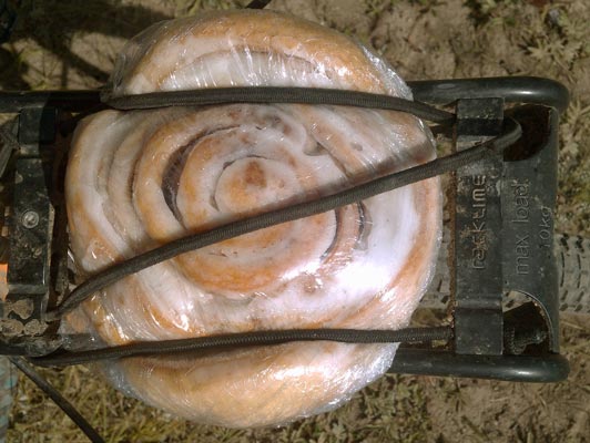
Make Sure Your Racks Can Handle Heavy Cinnamon Buns...
Sunday, September 11, 2016
Between Colorado Highway 17 and Lagunitas Campgrounds, I had walked all of the bike route, FR87, at least once in 4 past walks through the general area. I remembered many spots along the way. Beyond the campgrounds, the route on FRs 87 and 133 were far east of my hikes. There were a couple of quick rain and hail showers. I saw a Mule Deer doe.
Wood
After going to bed, I became violently ill. I had to leave my sleeping bag many times to vomit uncontrollably, or, less often, to poop. Later, I could crawl just a few steps, not even out of my bag, before barfing. It began to rain, and I draped my tarp over myself, making it that much more complicated to get in and out of bed. At some point, the offending material must have been cleaned out enough, as the pooping and barfing stopped. But then cattle began wandering through, loudly cracking sticks and mooing, and a rodent climbed all over my bike and bags. Shouting the critters away worked only until I managed to get to sleep again, only to repeat the cycle. In the morning, I was exhausted, dehydrated, nauseous, dry heaving, and had an irritated digestive tract. The rodent had taken a sock 10' away and chewed a bunch of holes above the arch of the foot area.
Miles: 51 2105
Camp: Cisneros Park FR133
Maps: GDMBR5A/N, NGTI142

Caterpillar
Monday, September 12, 2016
Between Hopewell Lake and Vallecitos Ranch, I had previously walked the route. Otherwise, it is east of the CDT. Until Cuba, or at least to the south trailhead of the San Pedro Parks Wildernesss, the bike route is east and south of the CDT and the various routes I've walked. I saw a heathy Horned Lizard and a healthy 26" dark speckled Garter Snake. 5 large male Turkeys crossed the road just in front of me. I went slow, took many breaks, and felt I was working quite hard anyway. Whatever I have is seriously affecting me. It might be from a bad can of potatoes or chili I ate yesterday, or the burger lunch in Platoro. After ascending from Horca and going to bed I felt queasy for a few minutes. Who knows?
Miles: 35 2140
Camp: FR44, FR44N, beyond Vallecitos
Maps: GDMBR5A/N
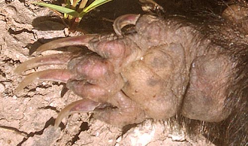
Skunk Front Foot
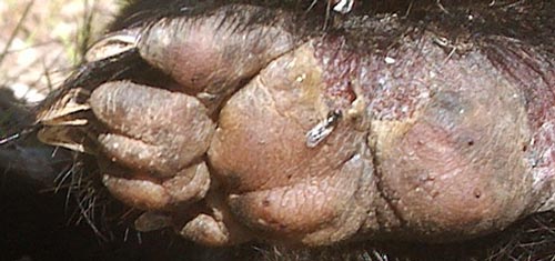
Skunk Rear Foot
Tuesday, September 13, 2016
I saw two 1½" horned lizards. Fatigue and lower tract discomfort continue. Drinking beyond desire and comfort doesn't cure a parched feel or urine of concentrated look and smell. There's not much water around anyway. Maybe I need a rest and recovery day in Cuba. My shifters and derailleurs need some adjusting, and a general checkup on the bike would be good.
Miles: 49 2189
Camp: Polvadera Mesa
Maps: GDMBR5A/N
Cracked Mud
Wednesday, September 14, 2016
I saw several flocks of Turkey and a Grey Fox Urocyon cinereoargenteus hunting in a riparian area. In this very dry stretch I was quite thankful for a couple of pint bottles of water from a hunter. I had asked him about NPS boundary signs south of FR144, and he said they were related to Valles Caldera, now managed as state gameland. A bow season for bull elk starts tomorrow.
Miles: 51 2240
Camp: FR70 beyond San Gregorio Trailhead (2014 CDT SOBO)
Maps: GDMBR5A/N
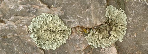
Lichen
Thursday, September 15, 2016
I took an easy day, lazing and watching movies.
Miles: 13 2253
Camp: Motel/Cuba
Maps: GDMBR5A/N
Cracked Mud
Friday, September 16, 2016
I continued resting until late morning. I still don't feel up to speed, but I hope the big rest helped tremendously. I saw Prairie Dogs and Black Eared Jackrabbits. Ojo Frio tasted a little of hydrogen sulfide and had a 4" centipede floating about, but had plenty of good water. The flagstone spring box roof had been replaced with a sheetmetal roofing thing.
Miles: 48 2301
Camp: West of Ojo Frio, North of Bears Jaw
Maps: GDMBR5B/S
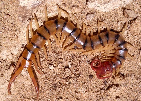
Centipede
Saturday, September 17, 2016
I saw a Kit Fox Vulpes macrotis. A 3"+ Centipede took shelter under my butt during a lunch break. Today's route was entirely west of all my CDT variants and offered a different viewpoint of the mesa between the Bear's Jaw and Mount Taylor / La Mosca. My appetite and tolerance for food improved.
Miles: 49 2350
Camp: 239 beyond San Mateo Spring (dry)
Maps: GDMBR5B/S, Cibola NF / Mount Taylor RD
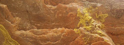
Lichen
Sunday, September 18, 2016
I rode into Grants, resupplied, and spent the day with Hugo and Carole, trail angels. The conversation was stimulating and informative, as usual. They suggested a route west of Pietown, through interesting lava formations south of Quemado along Road 32 in the Apache NF. (I'm guessing the interesting lava just east of the north end of the Chain of Craters Backcountry Byway is what they were referring to.
)
Miles: 23 2373
Camp: Grants
Maps: GDMBR5B/S, Cibola NF / Mount Taylor RD
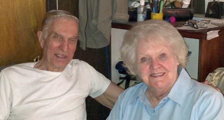
Hugo and Carole
Monday, September 19, 2016
Breakfast with Carole and Hugo, and the menagerie, was great. I had planned a leisurely day visiting the Mining Museum, El Malpais Visitor Center, and Bandera Crater Ice Caves. Fate instead provided six flat tires, two visits to the aviary factory with its air compressor, and a trip to Walmart to replace a tire with a blown out sidewall. By the end of the day I'd had it and was glad to quit. But thanks to Hugo and Carole for all the extra driving around. And I saw many Rabbits, a Mule Deer doe, and several bull Elk with nice racks. I followed NM53 rather than Zuni Canyon Road, as I'd walked that previously.
Miles: 38 2411
Camp: Chain of Craters Backcountry Byway 42
Maps: GDMBR5B/S, Cibola NF / Mount Taylor RD, El Malpais Handout

Blown Tire
Tuesday, September 20, 2016
I saw a Tarantula, Pronghorn, Mule Deer, and Elk. There is a bow Elk hunt on now. I saw Elk, and Elk and hunters bugled around my camp. After Chain Of Craters Byway 42 I left the GDMBR and travelled WSW on NM117, then south on NM36, US60, and NM32. All was rolling Sage-Grass plain with some degree of ecological change from long term cattle grazing. A Pacific rainstorm is coming towards me over Baja California and Tucson. It should be at its worst Wednesday afternoon and night, but today produced overcast skies and evening sprinkles.
Miles: 75 2486
Camp: NM32 Apache NF
Maps: GDMBR5B/S, El Malpais Handout, Gila NF (for Apache NF)
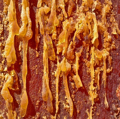
Pine Sap
Wednesday, September 21, 2016
The weather was clear. Quemado would be a good resupply town, with a ranger station and a few each stores, restaurants, and motels. Apache Junction had one small store, adequate for resupply. Reserve had a good medium grocer, a small gas station store, and several non-food stores, as well as restaurants and lodging. I saw little water other than the San Francisco River, though, so hiking near these towns might be dry. My route was NM32, NM12, NM435, and FR141, all paved. I had yet another flat with cracks on the inside of the tube.
Miles: 61 2547
Camp: FRs 141, 51, Gila NF
Maps: Gila NF
Plywood
Thursday, September 22, 2016
The weather was again mostly clear. Through this storm, the air has been humid and warm, even through most of the night. Dripping sweat and friction burns therefore are occurring. I heard Mexican Wolves and Elk last night, and it rained overnight as well.
Wood
I had 6 flat tires. One was a thorn in the front. With the thorn found and removed, the sealant goo in the tube held air without further disassembly or repair. Near sunset, I may have found the cause of the rear flats of today and a few days ago. The fabric tape which covers the spoke holes was once glued down but now had twisted, allowing tube to hole edge contact. I used some rubber cement from the tube patch kit to stretch the tape and glue the end in place. I'll see if this holds the tape in place or limits the flat tires.
Plywood
The smallest sprocket on my cranks is worn enough that I'm worried it will fail before the trip ends. Some teeth are very thin, others missing. I use the small chainring on most dirt roads and steep ascents, so losing it would be a big problem. I may have to take easier detours, walk the bike more, etcetera. Maybe I can get a spare in Silver City. I'm thinking of replacing almost the entire drivetrain after the trip: Freewheel, Chain, Rear Derailleur and all Chainrings. The chain was replaced right before the trip, but the thinning sprocket teeth may be partly due to 'Chain Stretch' (actually wear of chain rivets and holes). I think the axial spacers for the small chainring are too long, and are a major cause of the transmission problems on this trip: I need to replace them or cut them to the proper length. The excessive space has allowed many chain jams, which caused the chainring warp failure in Idaho, which in turn caused side wear on the teeth, in turn (partially) causing the tangential tooth thinning now.
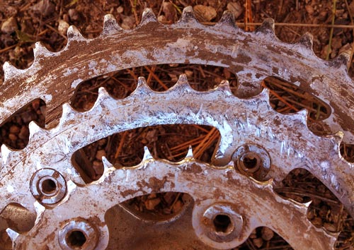
Chain Rings with 'Stretched Chain' Wear
The day ended with a double rainbow, a brilliant sunset, and two beers and a gallon of water from some hunters, so my cheer returned before camp. Water was flowing in Negrito Creek and several creeks east of FR28.
Miles: 40 2587
Camp: FR 141, 2.6 miles west of Turkey Spring, Gila NF
Maps: Gila NF, GDMBR6A/N (will rejoin route tomorrow)
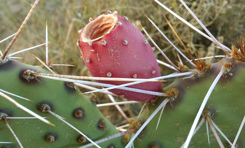
Prickly Pear Fruit
Friday, September 23, 2016
After a late morning flat, I pulled off the fabric tape. Some spoke access holes had small burrs raised perhaps in trueing the wheel, and the old hardened glue no longer holding the tape held some small shiny detached aluminum burrs. I brushed away what I could with my thumb, but a proper deburring and solvent cleaning should eventually be done. I applied rubber cement all the way around the rim, carefully placed and thumb pressed in the tape, and added two layers of electrical tape. The repair lasted the day, and we'll see about tomorrow. (No more flats occurred to Antelope Wells.) I saw a rattlesnake mimic Rat Snake and a brown and yellow striped snake, both about 30". There was one Pronghorn and a young Mule Deer buck in velvet. Creeks were flowing at Turkey Spring, Wall Lake and Black Canyon, and a concrete spring fed trough was full.
Miles: 55 2642
Camp: FR 150 south of Black Canyon Campgrounds / FR150C, Gila NF
Maps: Gila NF, GDMBR6A/N

Rat Snake
Saturday, September 24, 2016
I saw several Mule Deer, Blue Birds, and a Hummingbird. There were little resort stores east and west of Roberts Lake: each also had lodging. Water was flowing near Rocky Campground and later, at Pine Flats and in several streams along NM15. No Flats!!!
Miles: 49 2691
Camp: FR 855 off NM15, many Mosquitoes, rare on this trip
Maps: Gila NF, GDMBR6A/N

Sandstone
Sunday, September 25, 2016
I saw a striped 26" snake and a 30" Rattlesnake. I heard another rattler at camp. I met 3 from Cleveland riding from Denver to Antelope Wells. The store at Separ was closed.
Miles: 62 2753
Camp: I10 bridge east of Separ, Rattlesnake
Maps: Gila NF, GDMBR6A/N, GDMBR6B/S
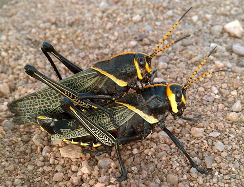
Grasshoppers
Monday, September 26, 2016
A light rain fell most of the day - the biggest rainfall of the trip. Winds were strong as gusty at times. I saw Jackrabbits, Roadrunners, Turkey Vultures, Mexican Hawks, a Rattlesnake, and a Wolf Spider. At the Hachita Community Center, I met Jeff, headed to Antelope Wells to pick up a cyclist. He gave me a ride down, and I rode back. I then stayed at his place, and enjoyed his great dinner. 6 other cyclists stayed as well. One bus each way stops every day in Deming, but additional express busses stop in Lordsburg. Tucson is even better, with all busses stopping plus train service.
Miles: 72 2825
Camp: Hachita
Maps: GDMBR6B/S
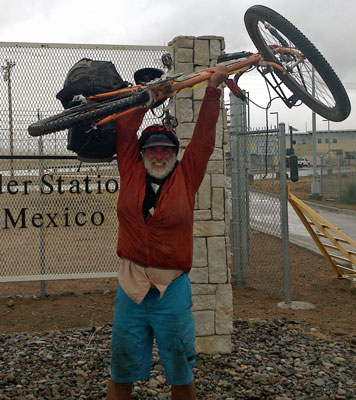
Victory at Antelope Wells
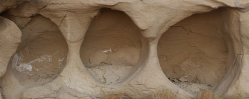
Sandstone
Tuesday, September 27, 2016
I rode with Juan back down to Antelope Wells and retrieved the 3 from Cleveland. Also finishing were 3 from Holland, bound on a different shuttle for Silver City, and thereafter on a road trip through Grand Canyon and Bryce NPs and surrounding attractions. We had a pleasant drive to Tucson, Arizona, but that evening's bus west was full, so I stayed in a motel. There was less rain and wind than yesterday, so perhaps riding to Deming or Lordsburg wouldn't have been so bad after all.
Miles: 0 2825
Camp: Tucson, Arizona
Maps: GDMBR6B/S
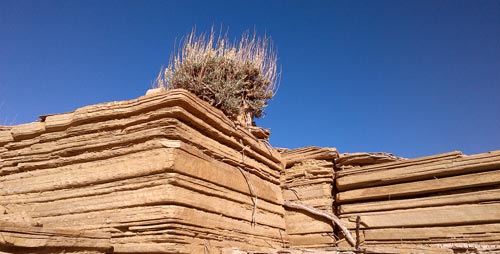
Sandstone
Wednesday, September 28, 2016
The bike and gear, while quite a practical way to travel when assembled and loaded, is bulky, heavy, and a pain to move when disassembled and packed in two boxes. So carrying each box in many relays back to the bus terminal reversed the effects of my morning shower. But the drive across the desert was otherwise pretty and uneventful. A heavy rain washed the San Bernadino Range, followed by a bright double rainbow. The sunset was bright orange with some early crepuscular rays.
Miles: 0 2825
Camp: San Diego, California
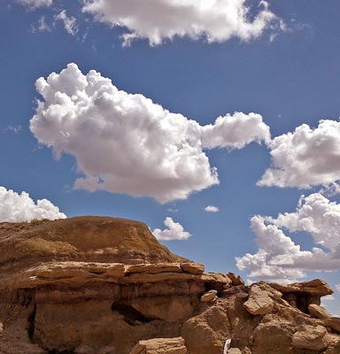
Sandstone
Thursday, September 29, 2016
I visited with Don and Gene.
Miles: 0 2825
Camp: Jamul / Deerhorn Valley, California
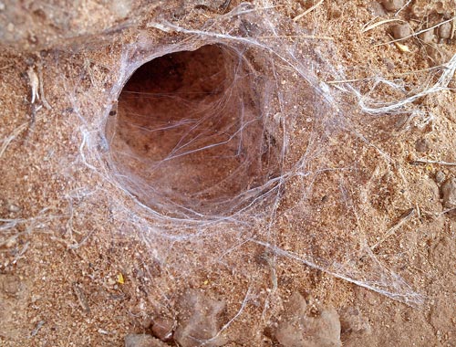
Silk Lined Tunnel
Friday, September 30, 2016
I edited this website, unpacked from the Great Divide Mountain Bike Route, and prepared for my upcoming trip to the American Long Distance Hikers Association Gathering in Massachusetts, to hike the AT between Shenandoah and Duncannon, PA, and to ride between Pittsburg and Washington DC on the Great Allegheny Passage and Chesapeake and Ohio Canal.
Miles: 0 2825
Camp: Jamul / Deerhorn Valley, California
Dominguez and Escalante Expedition
This 14 member expedition left Santa Fe, New Mexico July 29, 1776. By August 1, they had passed through Abiquiu bound northwest. Near Abiquiu, the CDT and GDMBR cross the route. December 13, 1776, the group left Zuni for Acoma, arriving December 16. Between Zuni and Acoma, in El Malpais, the CDT and GDMBR intersect the route again. They returned to Santa Fe January 3, 1777.
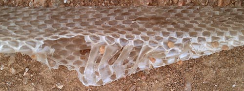
Snake Skin
Atanasio Dominguez and Silvestre ? de Escalante, Franciscan Friars and cartographer Bernardo de Miera y Pacheco were trying to find a route to the California Missions. From Santa Fe to Colorado they followed the 11 year old route of Juan Rivera. In their ~2000 mile trek, they explored large swaths of New Mexico, Colorado, Utah, and Arizona, but did not come close to California. On October 4, 1776, near Cedar City in blizzard conditions, they considered their dwindling supplies, the approach of winter, hostile Indians, and unknown difficulties in reaching California, and elected to return to Santa Fe by a different route.
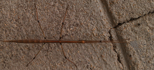
Stick Bug
Old Spanish Trail
In 1829, Mexican merchant Antonio Armijo led a pack train to Los Angeles, California, largely along the northern borders of New Mexico and Arizona. Armijo's route meets the CDT and GDMBR near Abiquiu, on the Dominguez-Escalante route. Later trade caravans used routes to the north to avoid increasingly hostile Navajos. The Northern Route crossed the Continental Divide at Cochetopa Pass.