
Tuesday, May 24th, 2016
In the past 4 or 5 days, I've run into only one long distance hiker. Before that, it was probably 20 per day for a couple of weeks. I guess I outpaced a slug of NOBO GA-ME thrus and Harpers Ferry flippers. I read and waited out a couple hours of heavy rain in the day ski warming hut atop Mount Greylock. Both the tower and the Bascom Lodge were closed. There were many f newts. I hauled out fresh fruit and fried chicken from North Adams. Three trail maintainers who had just reroofed the privy at Sherman Brook Campsite gave me two hard boiled eggs. Thanks for the work, the conversation, and the eggs.
Miles: 18 1318
Camp: Seth Warner Shelter
Map: NGTI 748 Green Mountain NF South, Long Trail Guide (book)
Long Trail Division: 1
Wednesday, May 25th, 2016
I saw some Moose tracks. Later, I helped shuttle a section hiker north 1 road. It rained a bit. Biting flies were bad in the evening despite a good breeze. I finished reading Herman Hesse's A Journey East.
Miles: 17 1335
Camp: Northwest of Little Pond, Peak 3075
Map: NGTI 748 Green Mountain NF South, Long Trail Guide (book)
Long Trail Division: 1, 2
Thursday, May 26th, 2016
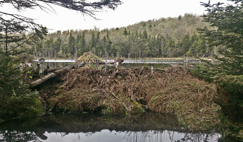
It was hot, humid, and sweaty. Biting flies and mosquitos made relaxing impossible. There were nice beaver dams and lodges. I saw 2 Garter Snakes, again with thicker bodies than their western counterparts. Many frogs and toads leapt out of the trail. There was loud frog song from one beaver pond late in the day.
Miles: 21 1356
Camp: on descent from Stratton Peak
Map: NGTI 748 Green Mountain NF South, Long Trail Guide (book)
Long Trail Division: 2, 3
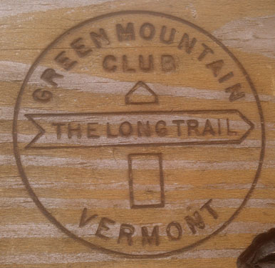
|
|
Friday, May 27th, 2016
It was hot, humid, and sweaty again, causing some heat / friction rashes. Biting flies and mosquitos were better, until mid afternoon... I saw more Garter Snakes, frogs, and toads. There was also one 14" brown snake. In Stratton Pond, many brown newts? were swimming underwater. I saw only one orange newt, swimming on the surface. A brown newt was swimming up and perhaps nipping at it from underwater. Eventually, the orange newt swam underwater and stayed on a rock for a few minutes. The brown newt laid its head on the orange one's back. After the few minutes, the orange newt swam back to the surface and away, the brown one no longer following.
Miles: 21 1377
Camp: on descent from Peru Peak
Map: NGTI 748 Green Mountain NF South, Long Trail Guide (book)
Long Trail Division: 3, 4
Saturday, May 28th, 2016
I took 3 creek baths today. That took some of the edge off the heat. Some of the trail was on abandoned road beds, and much easier than the past couple of days. There were still plenty of toads. The old Crown Point Military road was by the shelter.
Miles: 24 1401
Camp: Clarendon Shelter
Map: NGTI 748 Green Mountain NF South, Long Trail Guide (book)
Long Trail Division: 4, 5
Sunday, May 29th, 2016
I took many creek baths and hiked shirtless for today's long ascent. By day's end, though, it was raining in Rutland. I cleaned up in the 12 Tribes hostel and resupplied. I went to the commune dance, prayers, and dinner. The dancing and praying were bible / Christian based with each song, or later prayer of thanks, started by members rather than any leader. Dinner was grain rolls and grain and vegetables with Alfredo sauce.
Miles: 16 1417
Camp: Rutland Yellow Deli Hostel
Map: NGTI 748 Green Mountain NF South, Long Trail Guide (book)
Long Trail Division: 5


Monday, May 30th, 2016
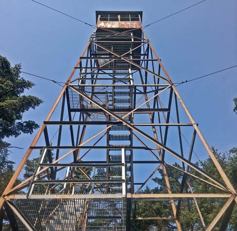
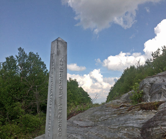
Larry, with Yuko, visited me on trail a third time and shuttled me to the Canadian end of Vermont's Long Trail so that I could hike its full length before continuing up the Appalachian Trail. Many thanks to Larry for coming out to the trail so many times. We toured the Ben and Jerry Ice Cream Factory and had a Long Trail Beer to appreciate Vermont's many offerings. Larry and I discussed a row of 21 modern wind turbines east of highway 100 near Lowell. Miles further to the east was another ~20 turbine ridge, and there was a smaller distant cluster to the west, as I later saw from the Bevidere Lookout Tower. I read a while at Journey's End Cabin while short rain squalls passed through. The Rutland hostel was having a clearance sale of its outfitter store, so I had bought quite a few maps.
Miles: 7 1424
Camp: Shooting Star Shelter
Map: Long Trail Guide (book)
Long Trail Division: 12
| Name | Latitude | Longitude |
|---|---|---|
| RoadMuddyRough | 45.002371 | -72.465841 |
| JourneysEndCabin | 45.006887 | -72.479302 |
| LT Canada Terminus | 45.008703 | -72.488338 |
| +LT DirtRoad | 44.991517 | -72.494393 |
| +LT Hghway105 | 44.986641 | -72.504077 |
Tuesday, May 31st, 2016
I saw no snakes or frogs, and fewer toads than south of US4. Beaver ponds and sign, and moose tracks and scat, were in plentiful supply. Jay Peak Ski Tram Station had trash cans and electrical outlets, as well as a fantastic view.
Miles: 19 1443
Camp: Tillotson Camp Shelter
Map: Long Trail Guide (book)
Long Trail Division: 12

Wednesday, June 1st, 2016
The Belvidere tower provided today's fantastic view. Asbestos mines to the south were free of vegetation on piles and had buildings in good repair. I wondered whether they are still mining or are cleaning up?
Miles: 15 1458
Camp: Corliss Camp Shelter
Map: Long Trail Guide (book)
Long Trail Division: 11
Thursday, June 2nd, 2016
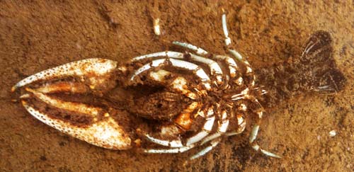
There were crayfish and polliwogs in the Lamoille River where I swam. The Lamoille Valley Rail Trail led into Johnson, which had a very large hardware store with camping equipment, and an expensive tavern where 15 crosses the river. There are more businesses further east, but I left after a good burger. I finished reading Annie Dillard's Pilgrim at Tinker Creek.
Miles: 17 1475
Camp: Bear Hollow Shelter
Map: Long Trail Guide (book)
Long Trail Division: 11, 10
|
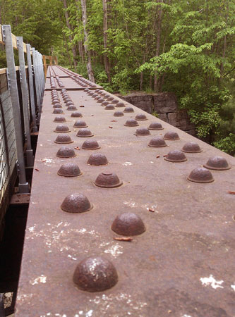
Lamoille Valley Rail Trail Established in 1916 as the Saint Johnsbury and Champlain Rail Road, and last commercially operated as the Lamoille Valley Rail Road, the Long Trail uses a bit of the smooth, crushed stone paved Lamoille Valley Rail Trail. When complete, the trail may extend 93 miles from Swanton to Saint Johnsbury. (44° 38" 31.073'N, 72° 43" 40.456'W) |
|
Friday, June 3rd, 2016
The view from Mansfield was impressive, including the asbestos mine and windmills of a few days back, and of Lake Champlain, and New York and the Adirondacks west beyond the lake.
Miles: 16 1491
Camp: Butler Lodge
Map: Long Trail Guide (book)
Long Trail Division: 10

|
|
Saturday, June 4th, 2016
Though I've seen many toads, today I saw my first garter snake and frog since flipping to Canada. I also heard a Black Bear, then just glimpsed him as he took off. I met seven GMC trail work volunteers and a gal thru hiking the Long who is to be the Butler Lodge caretaker. Many thanks.
Miles: 21 1512
Camp: Bamforth Ridge
Map: Long Trail Guide (book)
Long Trail Division: 10, 9
Sunday, June 5th, 2016
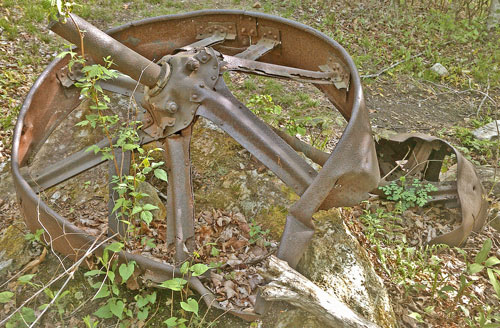
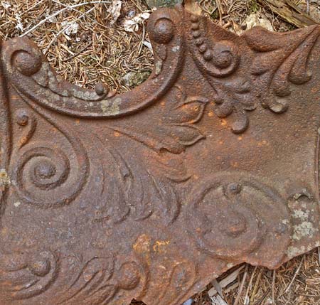
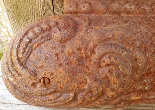
I saw a wing from a 1944 B24 Liberator Bomber crash. It rained from 8am onward, sometimes quite hard. The rain was fairly warm, but stiff winds and slow progress on steep, slippery, exposed trails caused some wind chill. I stopped at noon and read the big pile of maps that have accumulated in my pack since shipping some stuff home from Tin Cup's. Almost as soon as I mailed it, I got the Mid State Trail Maps, and I'm always acquiring more. So I planned some future hikes and reminisced over some old ones. Plus there were some Long Trail magazines, etcetera, in the shelter. Dayhikers told me tomorrow would have clear weather, with rain the following day.
Miles: 6 1518
Camp: Montclair Glen Lodge
Map: Long Trail Guide (book)
Long Trail Division: 9
Monday, June 6th, 2016
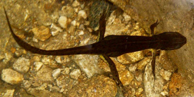
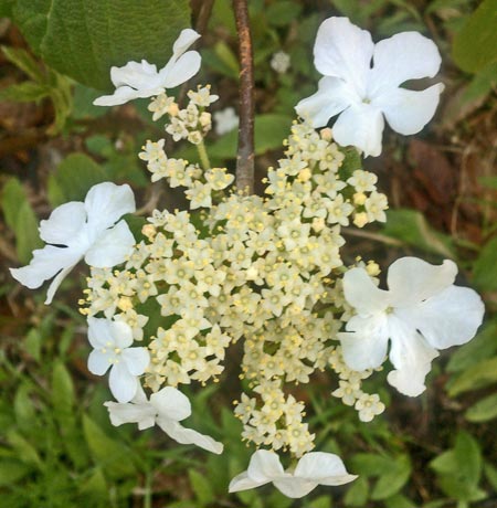
I saw many f newts. One arched his head, back, and tail almost in a loop, stomach out. Much of yesterday's rain was flowing in or flooding the trail. Things were very slippery.
Miles: 18 1536
Camp: Castlerock Chairlift
Map: Long Trail Guide (book)
Long Trail Division: 9, 8
Tuesday, June 7th, 2016
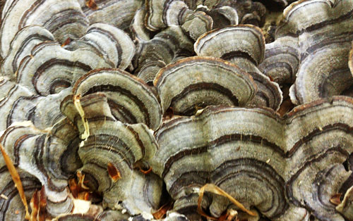
I saw 2 garter snakes. There were fresh moose tracks following the trail. I had not quite enough food to hike back to Rutland, and a gnawing hiker hunger. So I hitched from Lincoln Gap into Warren. The store had nothing useful for a long term resupply, but I bought sandwiches, bread, cheese, hotdogs, and ice cream. I got a big meal and enough food to walk comfortably to US4 and Rutland.
Miles: 15 1551
Camp: Emily Proctor Shelter
Map: Long Trail Guide (book)
Long Trail Division: 8, 7
Wednesday, June 8th, 2016
I walked among some grouse young and their mother. The young, though downy, flew or ran away from me. The hen came on the offensive, spreading her wings and raising all the feathers on her body to look big, and running straight at me while hissing. She then turned a little and ran past, still making a commotion. There was never a cripple posture. I saw many f newts, and many moose tracks and scat. Mount Horrid's Great Cliff was closed for Peregrin Falcon nesting.
Miles: 18 1569
Camp: Sunrise Shelter
Map: Long Trail Guide (book)
Long Trail Division: 7, 6

Thursday, June 9th, 2016
Ice cold water from drizzle saturated the overgrowing bushes and grass. The water brushed off and ran down my legs and into my shoes all morning. I resupplied in Rutland.
Miles: 10 1579
Camp: Rutland Hostel
Map: Long Trail Guide (book)
Long Trail Division: 6
