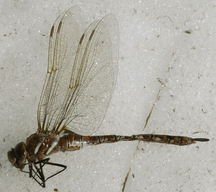
Dragonfly

Dragonfly
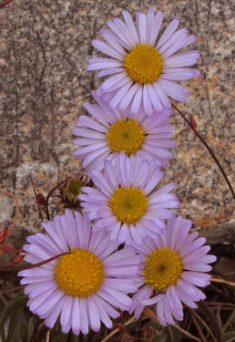
Asters
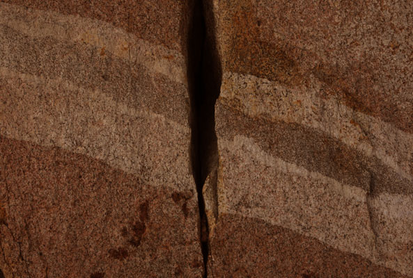
Granite
Trip Summary
Starting August 22nd, Jim (a friend from my engineering days) and I walked westbound over Taboose Pass, across the Pacific Crest / John Muir Trail, over an unnamed pass just south of Vennacher Needle, through the Cartridge Creek Lakes Badin, southbound over Cartridge Creek Pass, eastbound up the South Fork Kings River, and returning over Taboose Pass on August 28. The route was a compromise between Jim's desire to revisit our long ago trip through the Lakes Basin and my desire to see new places.
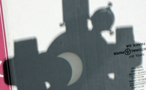
Solar Eclipse
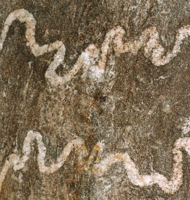
Quartz in Granite
Monday, August 21, 2017
Gene and I watched the Solar Eclipse from Jamul. We projected the eclipse on a sheet of cardboard with the spotting scope of a parabolic reflecting telescope. I also projected a good image just making a crude pinhole by curling my thumb and forefinger in a tight OK sign shape. We had lunch in El Cajon with Don, then Gene dropped me at Jim's place in Del Mar Heights. Gene got the tour of Jim's Machine and Electronics Shops.
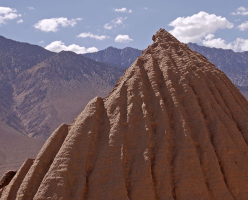
Cottonwood Charcoal Kilns
Tuesday, August 22, 2017
Jim and I drove to the Taboose Creek Trailhead and camped. We had picked up a permit in Lone Pine but hadn't found the Dome Lands Wilderness Map I'll want after Jim leaves in a week. We also visited the Cottonwood Charcoal Kilns. There were Bats and Dragonflies around the camp, as well as many old can dumps.
Camp: Taboose Creek Corrals, +11s04 11s103
Maps: 205n
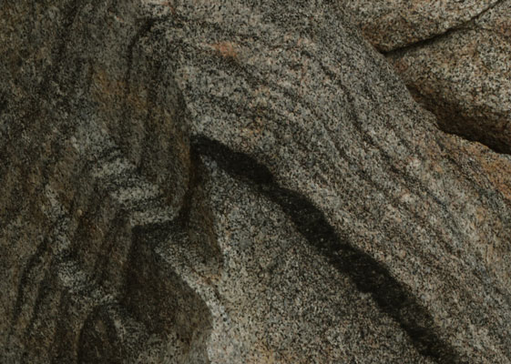
Granite
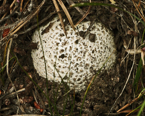
Mushroom
Dome Land Wilderness
The 130,000 acre Domeland Wilderness has many granite domes and unique geologic formations. This semi-arid to arid country has elevations ranging from 3,000 to 9,730 feet. Vegetation is mostly pinyon pine and sagebrush. Much of this area was burned in the 74,000 acre Manter Fire of 2000. The Bureau of Land Management (BLM) and the Forest Service each manage part of the wilderness. There is a USFS topo map titled 'Dome Land Wilderness' This is among the least visited wildernesses in the US.
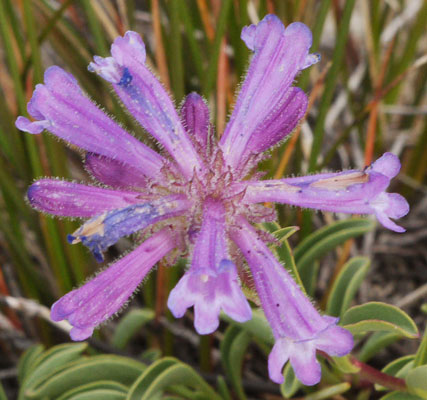
Flowers
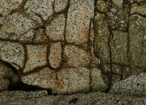
Granite
Wednesday, August 23, 2017
We needed to adjust to altitude, so we took many long breaks. The trail ascends continuously from the Owens Valley floor at 5200 feet to Taboose Pass at 11,400'. It starts in Sagebrush and tops out in fairly sterile alpine terrain. There is plenty of loose footing and overgrowth. The trail is usually high above the creek. By the top I was short of breath, and had a headache, nausea, compromised visual processing, reduced balance, and reduced mental acuity. We saw a Yellow Bellied Marmot and a Jackrabbit. I heard Pika, and saw scat of Bighorn Sheep.
Camp: West of Taboose Pass
Maps: 205n
Route: Taboose Creek and Pass
Miles: 8
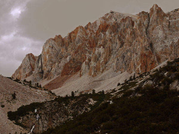
Red Cliffs in Taboose Pass
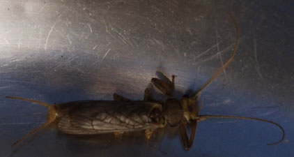
Nymph
Thursday, August 24, 2017
We saw a Mule Deer Doe. Hiker traffic on the PCJMT was nearly continuous. We headed to a lake between Mount Ruskin and Peak 12,212' which Jim remembered fondly from a previous hike. A large boulder there has sheltered spots beneath it. I had lessened altitude issues, but breathed hard on the final ascent and threw up soon after reaching camp. I hadn't felt sick until just before arriving.
Camp: Lake between Mount Ruskin and Peak 12,212'
Maps: 205n
Route: Taboose Pass Trail, PCJMT, Cross Country
Miles: 6 14

Sunset
Friday, August 25, 2017
We enjoyed the high country and several lake swims. Jim found a large balanced slab. Someone had placed stones around the perimeter, and removing one would cause the slab to tilt. Vennacher Pass is easy enough to follow westbound, but looked like it might be hard to find the right ledges eastbound. We saw scat of Marmots everywhere, and a few Jackrabbit tracks.
Camp: Lakes Basin north of Cartridge Pass
Maps: 205n
Route: Cross Country above camp, then descending to a lake, ascending to another lake, over the pass south of Vennacher Needle, and descending into Lakes Basin
Miles: 5 19
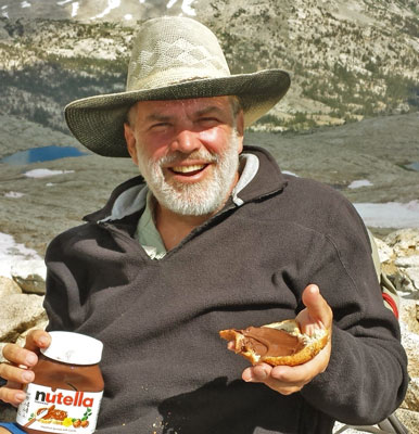
Dan in Vennacher Pass D
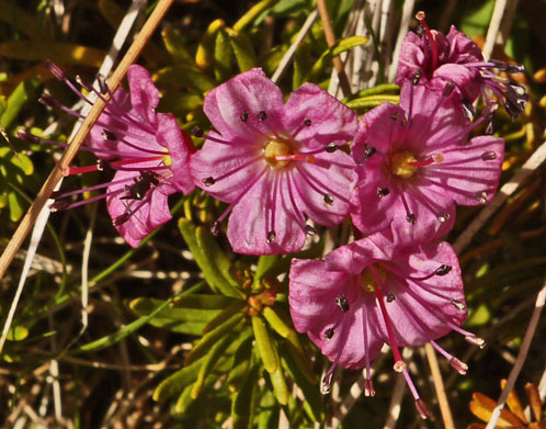
Flowers
Saturday, August 26, 2017
After crossing Cartridge Pass, Jim wanted to explore the ridgeline to the west and camp high. I wanted to wander the beautiful lakes below. So we separated for the night. The west or upper lake had interesting ice bergs calved from snow banks, and I enjoyed watching the light refracted through waves projected on lake bottom stones. In one case, a bug buzzing on the water's surface caused concentric waves.
Camp: Westernmost Lake South of Cartridge Pass
Maps: 205n
Route: Cartridge Pass, XC
Miles: 3 22
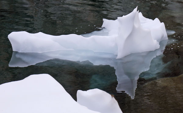
Iceberg
Old John Muir Trail
Today's John Muir Trail, which carries the Pacific Crest Trail between Devil's Post Pile (north) and Crabtree Meadow (south), includes steep approach trails to high passes which took years and much labor to build. In the interim, other existing routes were temporarily parts of the JMT. Once the JMT was completed over Pinchot Pass and Glen Pass, southbound hikers would descend the Middle Fork Kings River to Simpson Meadow, ascend Cartridge Creek to Lakes Basin, cross Cartridge Pass, and ascend the South Fork Kings River, there rejoining the current route. This was closer to the crest than the previous interim route, across Granite Pass to Cedar Grove. Once the Golden Staircase and Mather Pass sections were complete, this Lakes Basin segment was more or less abandoned: Trails in this area are considered to be use trails, and are not maintained.
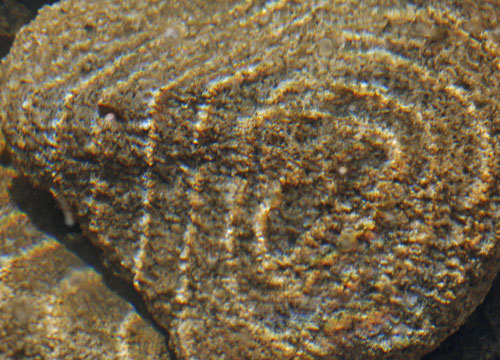
Ripples from Bug on Water
The JMT was conceived in 1892 and began construction in 1915, but wasn't completed until 1938. California appropriated of $10,000 each in 1915, 1917, 1925, 1927 and 1929, with the managing federal agencies coordinating the work. Forester Pass was built in 1932.
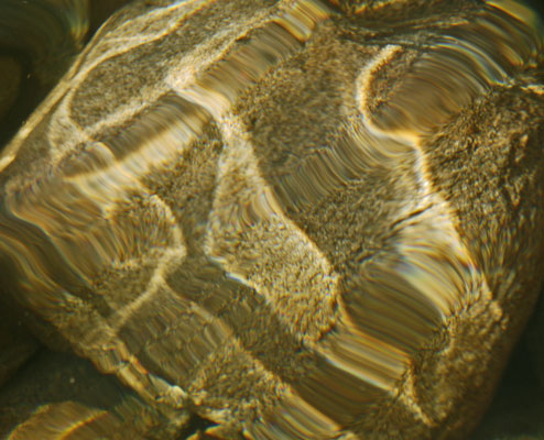
Ripples from Lake Waves
Sunday, August 27, 2017
It was easy enough to bushwhack along the South Fork Kings River - maybe one could walk down to Woods Creek confluence and trail. I got a nice picture of a speckled trout. A hummingbird hovered less than an inch away to check out my red jacket.
Camp: Westernmost / Lower Lake a mile west of Striped Mountain
Maps: 205n
Route: XC, Old John Muir Trail / South Fork Kings River, JMPCT, Taboose Pass Trail, XC
Miles: 9 31
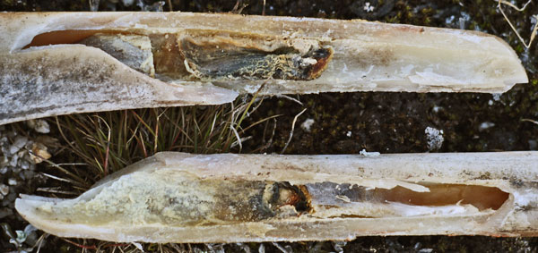
Deer Bone Opened for Marrow
Monday, August 28, 2017
We walked cross country on the south side of the pass, and visited the lakes and cliffs southeast of Taboose Pass. We then descended and drove to Lone Pine for a filling Mexican dinner. Elevation (store) had not located a Dome Lands Wilderness Map. I laundered, showered, and repacked with a large food supply we had taken up from San Diego. I was hard at work until the other guests went to bed about 9pm.
Camp: Hostel in Lone Pine
Maps: 205n
Route: XC beyond Taboose Pass, Taboose Pass Trail
Miles: 10 41
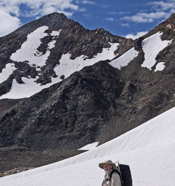
Jim South of Taboose Pass
Removing a Car from Jim's Yard
After Jim returned from this trip, I continued to hike for a month in the Sierras from Lone Pine to Sonora Pass. During the same month, this car crashed into Jim's yard. The lady across the street tried to back out of her place, but got going very fast. The car ran backwards through his garden and fence, knocked the supports out from under a porch roof, and landed on stuff piled there. Luckily, the lady was fine, and the roof was the only damage to the house. Various tow and crane companies bid very high and proposed plans which would be both dangerous to people and would likely damage the house or crack the driveway. So Jim and I, both engineers, devised a safe plan and removed it after I returned from the Sierras.
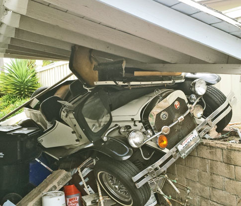
The Car Slammed Through Jim's Gate, Knocked Down this Roof, and Smashed Stored Items.
Tuesday, October 3, 2017
Jim and I worked most of the day to remove a car that had crashed on a pile of shop materials by his house. The stuff under the car limited access to the best jacking hard points, so we built brick towers to lift where we could, then towers to support the wheels. Once the car was high enough, we removed the crushed materials below it, and built a road for the low side wheels. To push the car out require prying an inch at a time. Eventually, we were on dirt and could roll downhill. A final run across the street was anticlimactic.
Camp: Jim's Place
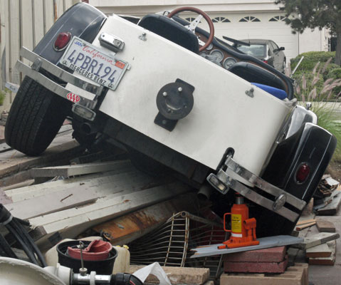
Jacking the Car off Jim's Crushed Stuff
Wednesday, October 4, 2017
I helped Jim paint and replace electric outlets, etcetera, at a rental house, then went out to Jamul with Gene.
Camp: Gene's Ranch
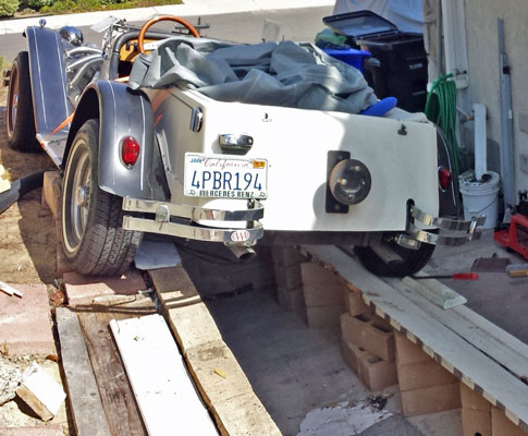
A Ramp on Blocks to Roll the Car Out
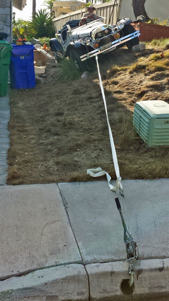
We pulled the car off the ramp and through the garden.