White sandy areas south of the Coast to Crest Trail and the river are Least Tern nesting areas.

I visited San Diego with two important goals. First, to take my mom to various dental and eye appointments. And second, to buy my friend Gene's Montero (truck) and take away all the stuff I had stored in his shed. While in town, I also helped Marie and Roy move stuff from his shop to their new, big house, and hiked at local spots.
My mom had had a cornea replacement surgery a few months back. She went from nearly blind to being able to read street signs as we drove around. And now that most of the healing and improvement was done, she could get glasses to improve her vision even more. So we visited the surgeon, the optometrist, and the eyeglass store, and ordered a pair of auto tinting bifocals for walking around outside and seeing people, cards and food around a table, and a pair of readers.
My plan with the Montero is to drive to all sorts of interesting hiking spots that I didn't see while on long distance hikes for the past several years. Many sites are far from the long trails, and the need to hike from town to town in a reasonable number of days sometimes did not allow thorough exploration near the trails. The Montero is high clearance and 4WD, perfect for the many dirt roads in the west. We'll see if it's 28 year age is an issue. I had wintered at Gene's ranch for a few years, and needed to move stuff I had stored in a shed there.
|
San Dieguito Lagoon Panorama shot from Park on ??? White sandy areas south of the Coast to Crest Trail and the river are Least Tern nesting areas. 
| |||||
| 1, 2 | 3 | 4 | 5 | 6 | 7, 8 |
|---|---|---|---|---|---|
|
|
| 4 | 5, 3 | 1 | 2 | 6 | 7 | 8 |
|---|---|---|---|---|---|---|
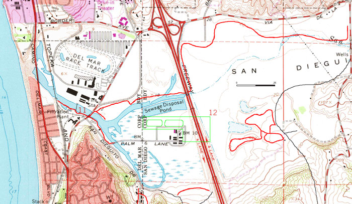
San Dieguito Lagoon | ||||||
At the southeast end of River Path Del Mar is Grand Avenue Bridge, #3 on the maps. Today it is a pier, part of the old bridge, with a good view into the water and over the wetlands. There is a series of excellent signs documenting the history of the area. A quote of one of the signs is below.
|
Grand Avenue Bridge After the war, when the Navy deactivated the 3500-foot runway and ancillary buildings, the County paid one dollar fpr 80 acres and rented out the property as Del Mar Airport, which had a popular restaurant, lounge, and patio. From 1952 to 1968, a Del Mar engineer leased the old buildings and started Non-Linear Systems, the birthplace of digital electronics. The Airport closed in 1959 when the State Highway Department issued plans for Interstate 5 which would bisect the runway. A big white X warned pilots that this was no longer a landing site. All Buildings were dismantled. The bridge is now part of the San Dieguito River Park. |
Per another sign, Lima Beans and Sugar Beets were once grown nearby. The large pilings west of the Grand Avenue Bridge were once part of the landing for a ferry that once crossed the river here. A ramp for farm wagons to load produce onto trains was in the same area.

Mission San Luis Rey |
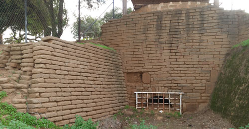
Brick Kiln |
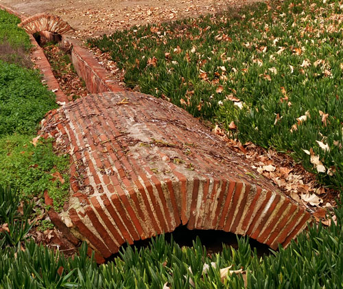
Ditch Between Brick Kiln and Laundry Area |
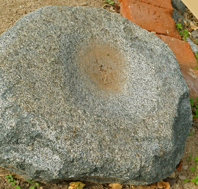
Shallow Morter |
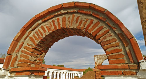
Arch |
I aso walked west of College Avenue on the paved bike path on the dike of the San Luis Rey River.
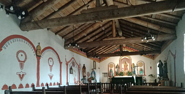
Interior, Mission San Antonio de Pala The Pala Mission was established in 1816 as an asistencia to Mission San Luis Rey. |
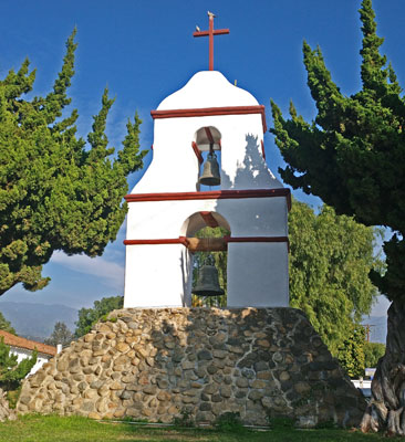
Bell Tower, Pala Mission |
I took short walks in a few places, and in Borrego Springs I visited the natural history association bookstore hoping to buy a book I had once seen there on how to visit all of the Spanish Missions in the US by car. Alas, it was long gone.
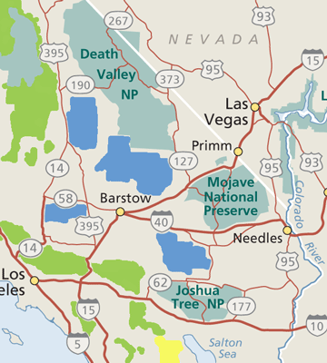
California Desert Area Map
|
I hiked several trails (Bajada, Mastodan Peak Loop, Cholla Cactus Garden, ++) for a few miles each. I found that on the road branching west, all sites were teeming with tourists, and thus were not to my taste.
Twentynine Palms seemed like a great town to resupply, with inexpensive motels and gas, and a full grocer, dollar stores, and many other retailers.
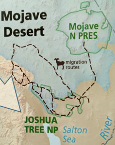
Bighorn Sheep Migration |
I walked up Teutonia Peak and the sand dunes, and briefly walked several other places.
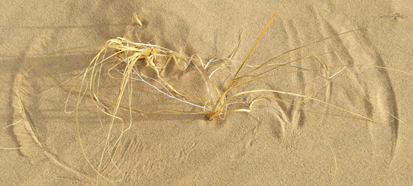
Wind and Grass Marks, Kelso Dunes |
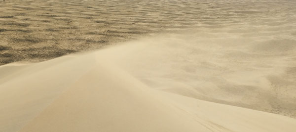
Wind Blown Sand Atop Kelso Dunes |
Primm, Nevada has several reasonably priced casino hotels. Gas was quite expensive everywhere but a Flying J truck stop.
Needles is a good resupply town, with all services and inexpensive motels. Gas is cheaper than to the west, but Arizona gas is even cheaper. In Kingman, the easternmost exit 53 has much less expensive everything than the westernmost exit 44.
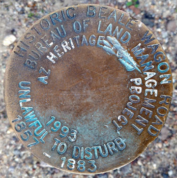
|
Historic Beale Wagon Road Bureau of Land Management AZ Heritage ? Project 1993 Unlawful to Disturb 1857 - 1883 |
|---|
The westermost section, from the state line to Kingman was the most interesting, with the oldest road technology (narrow, winding), the Colorado River and jagged geology, and public land where many were camped. In Sitgreaves Pass there was a Beale Road marker. High 66 sections further east were in flatter juniper grasslands in ranches and reservations, with little public use area nearby. I reached Flagstaff by nightfall.
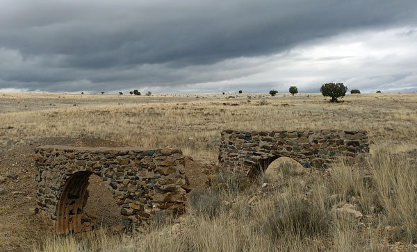
Historic Route 66 Culvert |