Introduction
I've taken five week-long hikes with Jim, an electrical engineer I met in a job once. Like me, Jim is a supernerd and an engineer to the bone. In the words of my boss at the time, Jerry, "Jim is the best microwave amplifier designer west of the Mississippi." Of course, there's that one guy in the east, but we won't dwell on that. Jim often dreams of getting out in the sticks, and has gotten out for many week-long trips with various people. He's thinking of thru hiking the PCT soon.
We took one trip in the Olympic Range in western Washington State, one in the Pasayten Wilderness (northern Washington), and three in the Sierra Nevada of California. Jim and I are writing this years after the last trip, so details are from Jim's and my memories.
Olympic Peninsula, Western Washington, August 1997
I have no maps or journals to document our route.
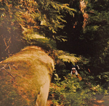
A ranger had told us that no trail maintenance had been done on part of our proposed route for three years due to budget cutbacks, and as a result 200 trees were down across a trail we planned to use. That didn't seem too bad, so we went ahead. What we found out was that the smallest of the downed trees was five feet in diameter. This being the Olympic Range, the trees were wet, moss covered, slimy, and usually located on very steep slopes. I developed a method of climbing up one side of the tree with my ice axe and sliding and jumping down the other. It was exhausting. Jim developed new methods of cursing.

One night we camped at the same shelter as three boy scouts and two adult guides. One of the boys was new to the troop, and the others were hazing him to an unreasonable degree. In the morning, before they hiked out, this kid was complaining to us about how the other scouts ate his food, tied him to trees, suspended him from a bear rope, etc. I took mercy and started to tell him of dirty tricks one hiker could play on another. I only got as far as suggesting putting rocks in the other two boys' packs when he immediately got busy, loading stones in every pocket of their packs. We started to tell him "Not so many, they'll notice!!", but the others showed up right then, shouldered their packs and took off. In a great show of teenage testosterone, all three blasted up a bunch of switchbacks as Jim and I watched. I've often wondered what happened when the other two discovered all those rocks they'd been carrying...
Pasayten Wilderness, PCT, Northern Washington, 1998
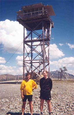
In 1998 I was laid off as a contractor at Boeing. Jim and I had planned to hike from Hart's Pass to Canada on the PCT and return via the trail in the valley to the east of the Pacific Crest Trail. I had all summer to hike in Washington State with no work to get in the way. It was excellent.
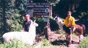
We left Harts Pass northbound on the PCT to Canada, backtracked south to the northernmost trail/pass to the east, and returned via the valley east of the PCT to Harts pass. Along the way were many mining ruins, and Jim can never resist the urge to explore an old mine. In a valley was the Pasayten Airfield, one of many abandoned WWII remote fields. It was used to fly patrols to ensure Japanese attacks could not come through Canada. When Jim arrived at the airfield, he was so exhausted, dehydrated, and irrational that he wouldn't give me his water bottle to fill. Dinner and a good night's sleep cured him, and in the morning we poked around the log cabin there and played horseshoes with real worn out horse shoes.
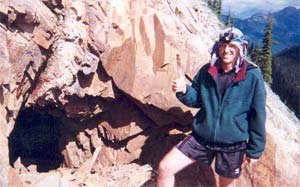
After that hike I thought the Pasayten Wilderness was so beautiful and desolate that I could do nothing better with my summer than continue to hike there. First I took several more trips hiking up a ridge to the Canadian border, and returning via a valley trail. Doing so, I explored a large area to the east of the PCT. Then I hiked south on the PCT in various trips, completing a section hike from the Canadian Border to White Pass before winter set in. There are some photos and stories from these hikes on a separate page on my website here.
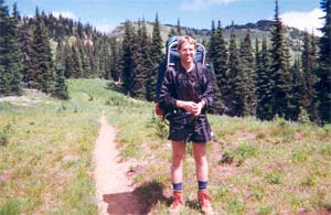
King's Canyon, Sierra Nevada, California, 199?, ~60 Miles
We began this trip from the Cedar Grove Road's End on the South Fork Kings River via the Woods Creek Trail to the PCT/JMT.
There was a slow moving crown fire burning a couple hundred yards up slope of the trail. We went up and watched as one massive tree after another steamed, desiccated, heated, and exploded into flames. I decided I should spit on the fire so I could describe how close I'd been. Jim decided to piss on it to one-up me. He walked up a log close enough, but the heat was so intense he could not concentrate enough to unzip. He came back, made the necessary preparations, and went back in and got the job done. There was no way I was going to do what was required to one-up Jim.
We walked up the PCT over Pinchot Pass and proceeded north up the next valley towards Mather Pass. At this point, it was clear that our slow pace would make it impossible to complete our original loop in the time we had remaining, so we took a left into untracked territory to take a short cut through a pass between Vennacher Needle and Mount Ruskin. Jim found a fishing lure at the very top of the pass we improvised, so we were obviously not the first hikers to come this way. We continued down through Lake Basin to Marion Lake, where we headed southwest and climbed towards Windy Ridge. While lunching on a rock part way up a chute to the top, we saw a cougar walk across a snow field high above us. As we ascended further, we came upon his massive tracks in the snow. In the high country, Jim followed the cougar tracks to the end of a ridge where he saw much sign, indicating this view-filled ridge end was the cougar's main hangout. The next morning, tracks indicated the cougar had circled our camp several times.
We continued cross-country the next day until Horseshoe Lakes, where we regained a trail. Continuing past State Lakes, we finally got below 10,000' elevation at the entrance to Glacier Valley, and started a fire there to burn our excess food (it was amazing how much we overestimated the food required for our 8-day trip). Most burned pretty readily, but the Ritz Crackers seemed made of asbestos - they scorched on the outside but refused to burn through. We had to pulverize them with sticks to get them to fully burn.
We headed up Glacier Valley, again walking cross-country, following the drainage past Kid Lakes to Grouse Lake, our last camp. There was an excellent diving rock there, and at night we could see fires in the high country south of the South Fork Kings River canyon. The next morning we gave even more leftover food to two stoners carrying huge packs and escorting two Swedish girls who were carrying nothing at all. Last we saw, they were munching great handfuls of pulverized Oreos. After descending the switchbacks on Copper Creek, got a much-need shower at Cedar Grove. Afterwards we drove into Sequoia National Park and toured the Sequoia Groves.
Emmigrant Wilderness, Sierra Nevada, California, 2002, ~75 Miles
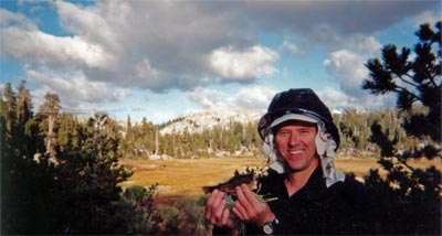
We started at Kennedy Meadows off California Highway 108, followed the trail past Relief Reservoir, and up Relief Creek to camp in the vicinity of Wire Lakes. I hiked alone most days on big cross country rambles, as Jim slept two days away in the tent due to a fever and severe sore throat. One day we walked to Granite Dome. Probably that same day Jim tickled the trout. I was quite surprised to see that one could just slowly grab a trout, with no equipment whatever. There were many dried cow pies in the meadow near our camp, and they made excellent, sweet smelling campfire fuel. The geology was rolling glacier-polished granite hills separating meadows. We intended a loop hike via Emigrant Lake and Summit Creek, but returned via our entry route as soon as Jim's recovery allowed.
South Lake to North Lake Loop, Sierra Nevada, California, ~July 6-16, 2008, ~75 Miles
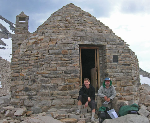
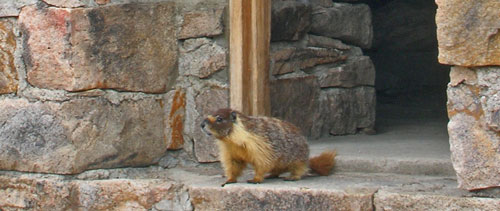
With the help of my brother Bob, we parked Jim's car at North Lake where our hike would end, and then drove to South Lake to begin the trip. We hiked from South Lake to Bishop Pass via 31E04, through Dusy Basin to PCT/JMT in La Conte Canyon, then up along the Middle Fork Kings River. People were hiking whitewater kayaks over Bishop Pass to spend a week floating this very remote and difficult run. We hiked over Muir Pass, finding a marmot had claimed sole occupancy of the rock cabin. We left the PCT for the Piute Pass Trail 30E01, terminating at North Lake. We got separated on the last afternoon, and camped separately that night; Jim missed the first switchback on the trail's ascent from the river valley and continued walking straight, to a fishing camp in a mosquito-infested lake area. He discovered his error the next morning, and we regrouped at his car later that afternoon. We visited the Bristlecone Pine forest in the White Mountain Range on the drive back home.
